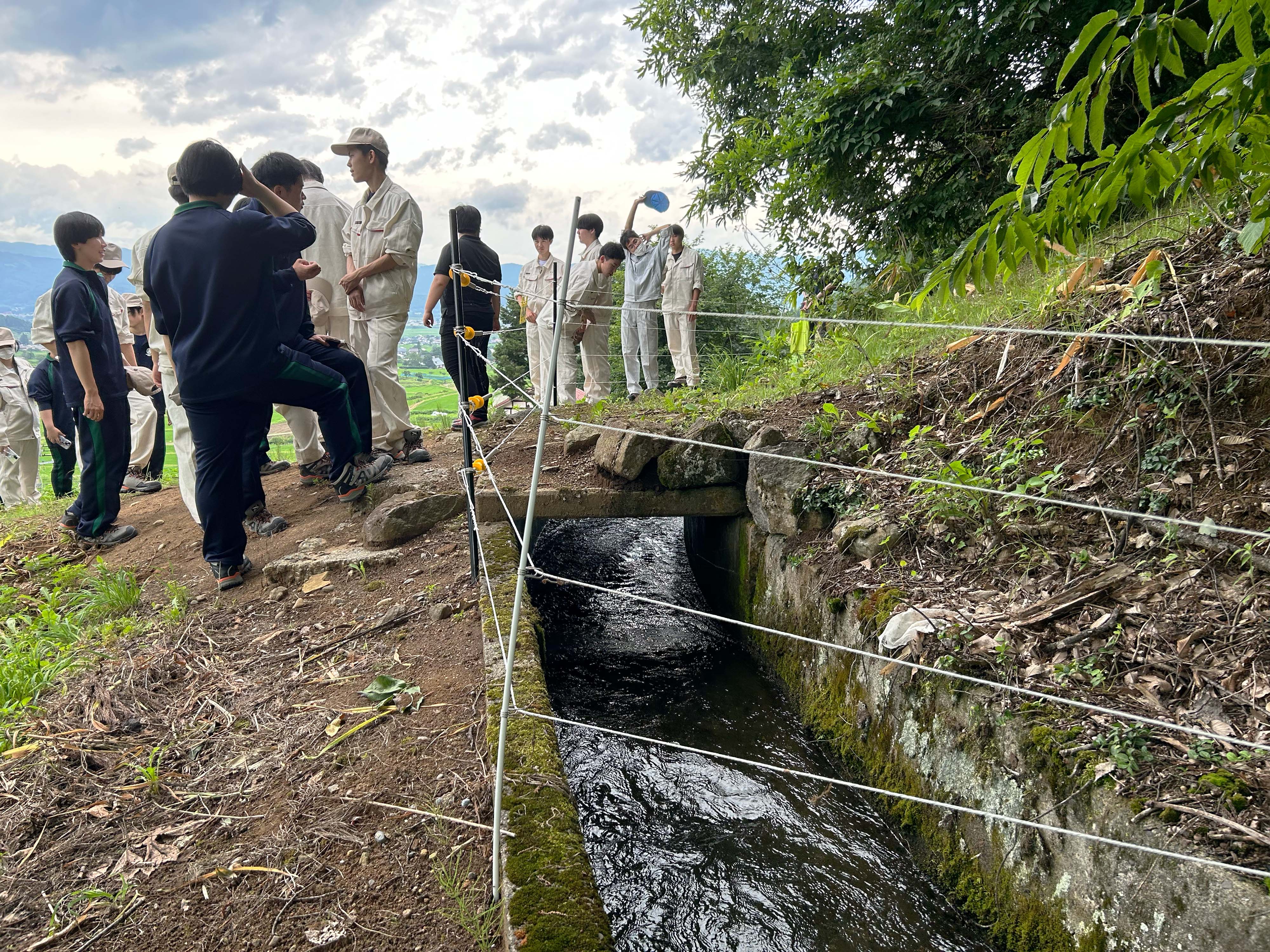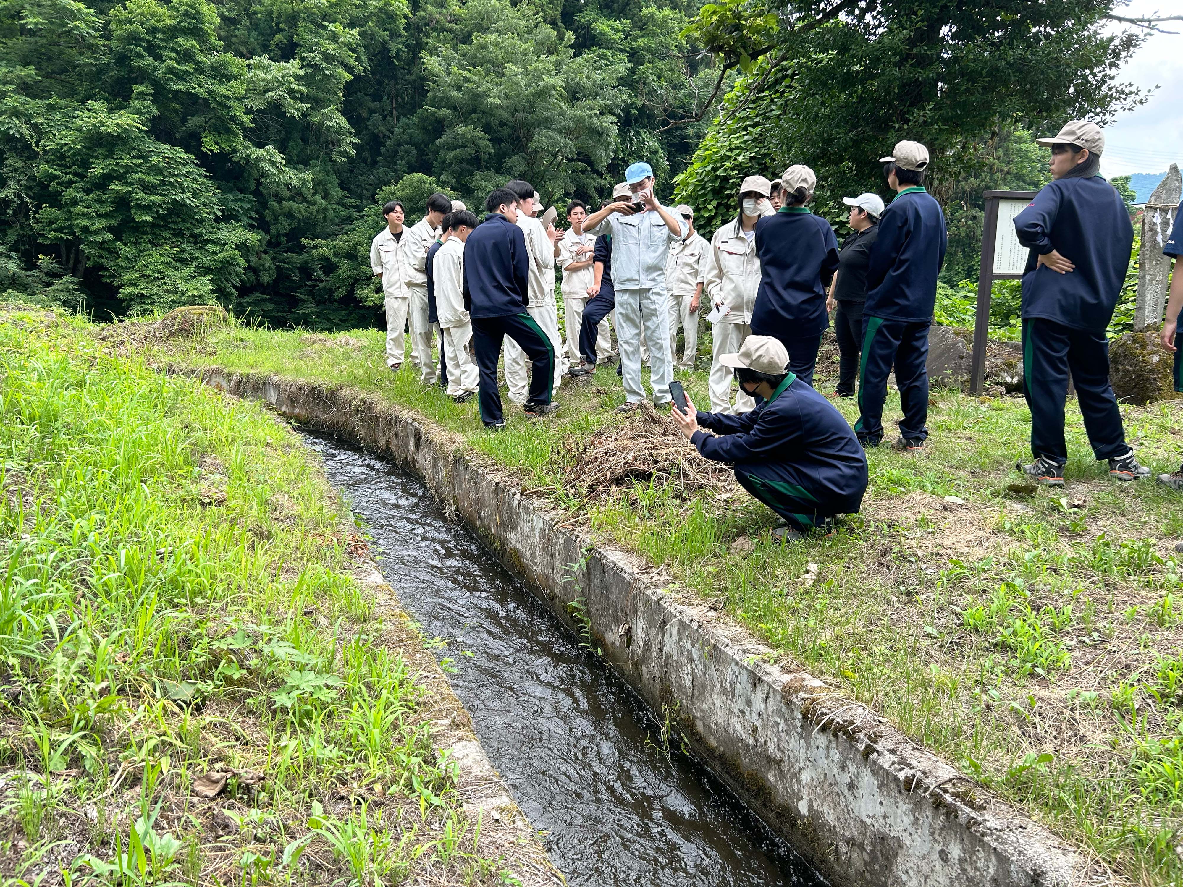
「上堰」は、江戸時代に掘削され、現存している農業用水です。7月9日(火)環境創造コース2年生は、来週予定している水質調査のため、そして、なぜ「上堰」はその場所にひかれたのか?という、先生からのお題の答えも探しながら「上堰」を踏査しました。
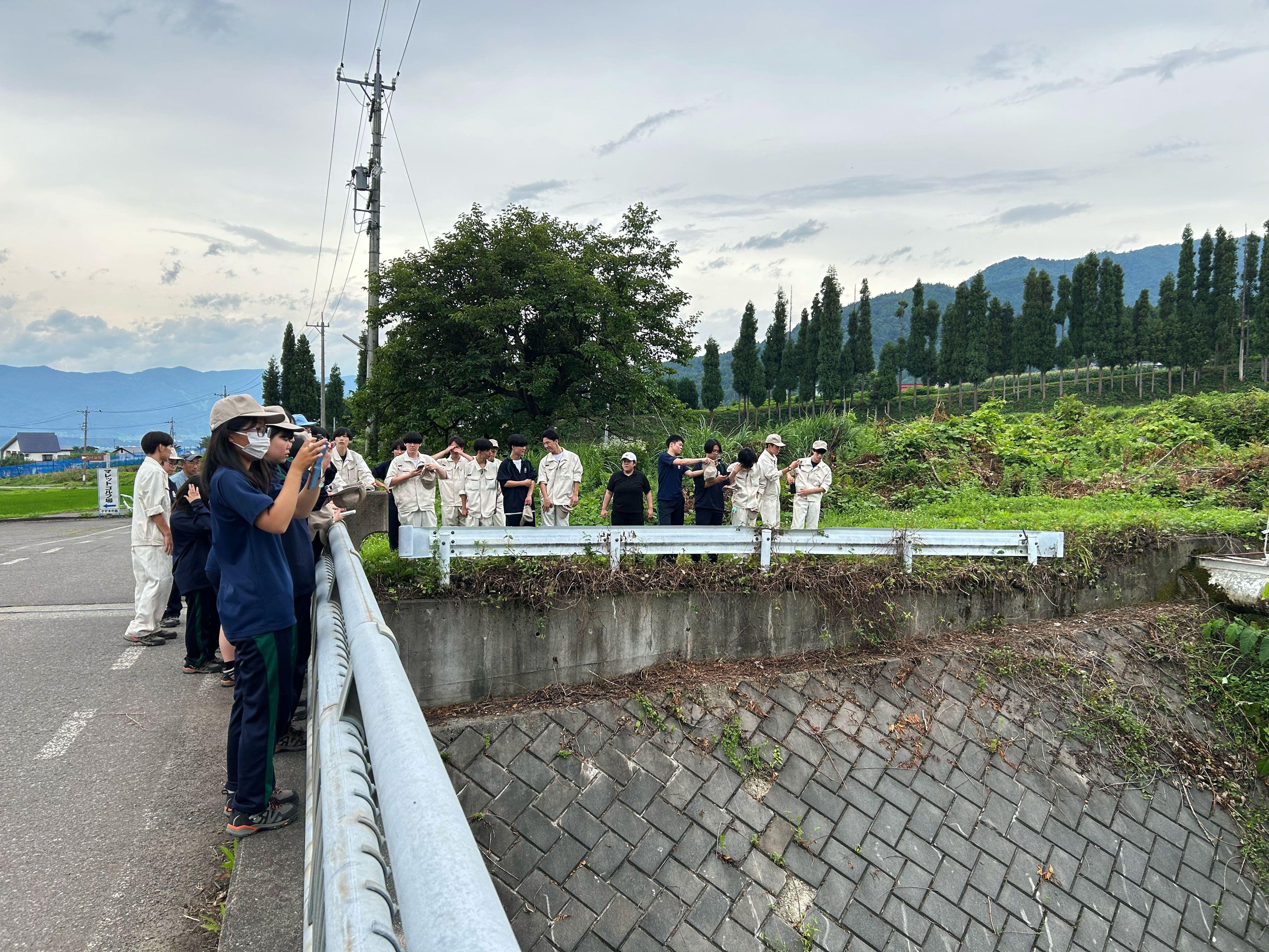
生徒は、同村の名所となっている「樽滝」から500mほど下った取水口の付近、「巣鷹八幡神社」の入り口付近、そして開削当時の終点「けやきの森公園」付近の水質調査の候補地点3箇所を訪れました。
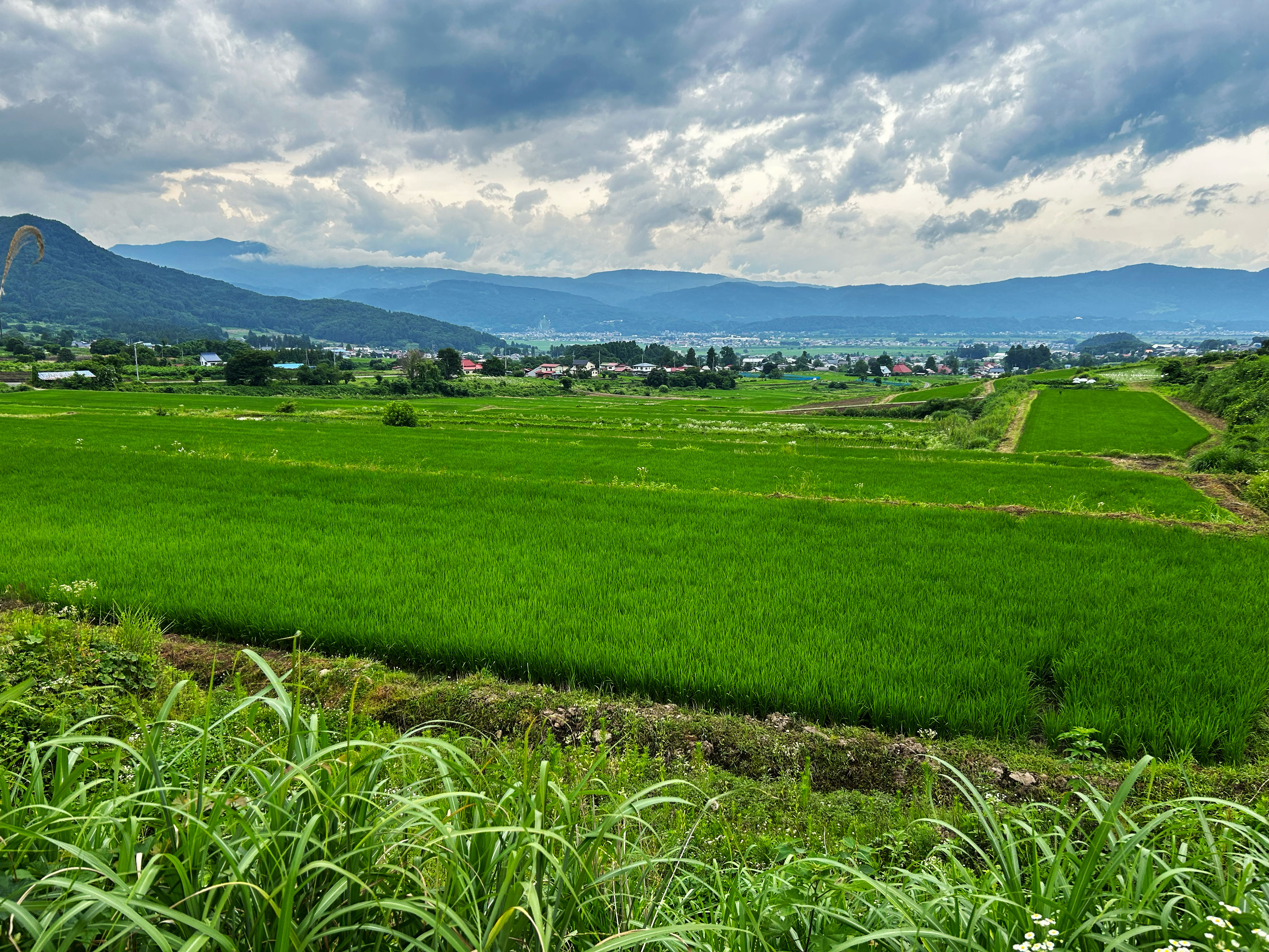
「巣鷹八幡神社」や「けやきの森公園」付近からは、「上堰」の恩恵をうけている水田地帯が眼下に見渡せました。
生徒の皆さん、「上堰」の水質をどのように予想しましたか。そして先生のお題の答えはみつかりましたか。
The “UWASEGI” is an agricultural irrigation canal excavated during the Edo era and still in use today. On Tuesday, July 9th, 2nd-year students in the Environmental Creation Course visited the “UWASEGI” in preparation for a water quality survey scheduled for next week and to seek answers to their teacher's question: “Why was the UWASEGI canal dug at that location?”
The students visited three candidate sites for the survey: the vicinity of the water intake 500m downstream from the village’s famous Tarutaki Waterfall, the entrance to the Sutaka Hachiman Shrine, and Keyakinomori Park, which marks the end of the canal as it was originally excavated.
From the area around Sutaka Hachiman Shrine and Keyakinomori Park, the paddy field area benefiting from the UWASEGI can be seen below.
Students, how did you predict the water quality of the UWASEGI? And, have you found the answer to your teacher’s question?