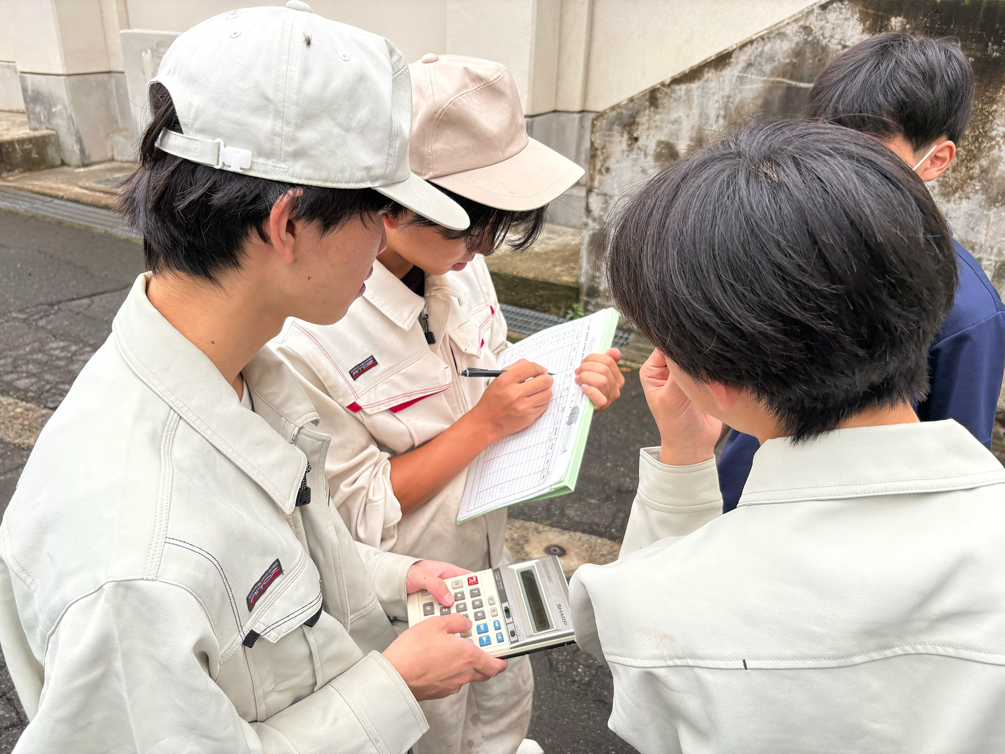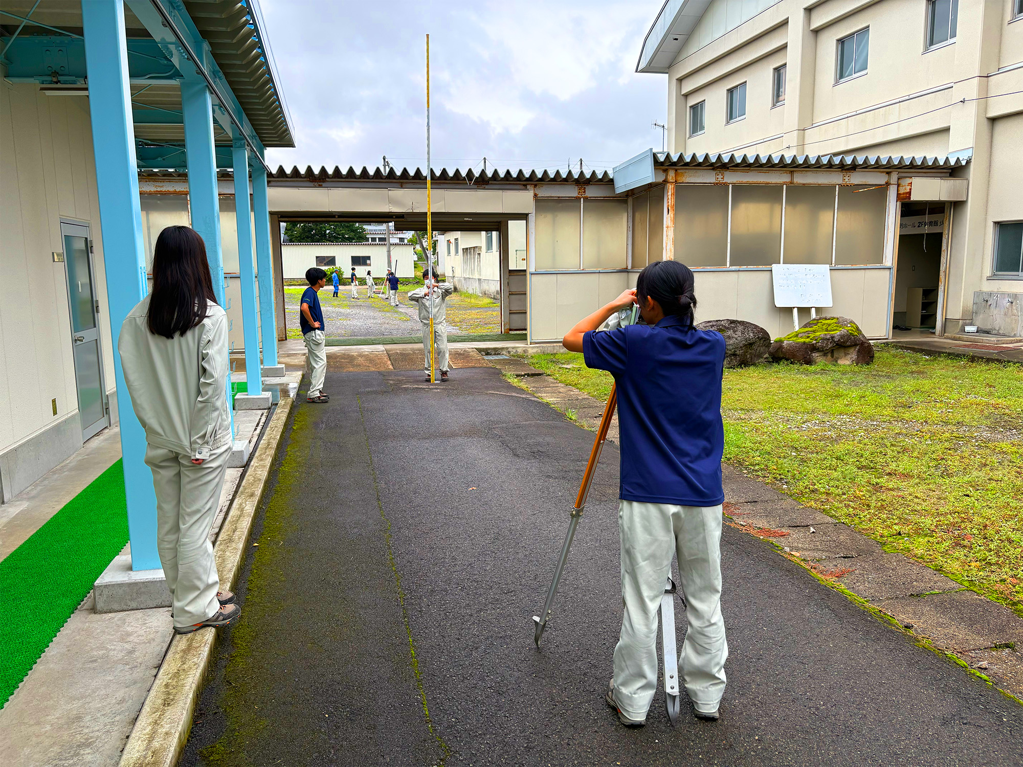



木材の体積を計算する材積計算は、樹木を一本ずつ調べる方法から、ドローンやレーザー、そしてAIの進化によって、上空からの情報を、スマホ等を用いて自動で計測する時代に進化しています。しかし、自動計測も、基礎となっている技術を知らなければ、得られたデータの意味を読み取ることができません。その基礎のひとつに測量があることから、環境創造コース3年生は、スマート林業の授業で水準測量を学んでいます。同コース生は9月11日、校内に設置した10数箇所の測点をまわり水準測量を実施しました。これは、あらかじめ測定した測点間の距離(斜距離)から、水平距離を求めるためのものです。
今後予定されている、ドローン等を用いた最新の材積計算の研修(講師:北信州森林組合)にむけて授業は進みます。
Measuring the volume of timber has changed greatly over the years. In the past, people measured trees one by one. Today, as drones, laser technology, and AI continue to advance, information can be collected from the air and automatically measured using smartphones and other devices.However, to understand what the data means, it is important to know the basic technologies behind these systems. One of these basic technologies is surveying. For this reason, third-year students in the Environmental Creation Course are learning leveling surveys in their Smart Forestry class.
On September 11, the students visited more than ten survey points on the school grounds and carried out leveling surveys. They used the previously measured distances between the survey points (slope distances) to calculate horizontal distances.The class will continue as students prepare for upcoming hands-on training on the latest methods for measuring timber volume using drones and other technologies. The training will be led by instructors from Kitakushinshu Forest Owners' Cooperative.